
New Albany Block Lookup Sources
Public records describe a New Albany block in layers. Floyd GIS supplies parcel shapes and road context. The Assessor connects a selected parcel to an owner record. Recorder deeds and plats establish legal ownership and boundary evidence. SmartGov may show permit activity tied to a site. Voter data has separate release rules, and city boards identify civic representatives rather than each household. Keep those functions distinct when looking for New Albany neighbors.
| Source | What It Shows About a Block | Access |
|---|---|---|
| Floyd GIS parcel layer | Adjacent shapes, roads, rights-of-way and parcel IDs | Public viewer links; selected-pop-up fields not captured |
| Assessor and Beacon | Owner and parcel record for each selected address | Limited public search; situs and mailing may differ |
| Recorder deeds and plats | Ownership, subdivision, easement and legal boundary evidence | Tapestry, Laredo, office and plat request |
| SmartGov | Permit activity by site address, ZIP or parcel | Public filters; backfile start unknown |
| City boards and library | Representatives, historic occupants, photos and local files | No complete current household roster |
An owner name is not proof of who sleeps at the address. The mailing address may belong elsewhere, and a deed may name a trust, estate, or company. A homestead deduction is a tax classification, not an occupant list. For the most accurate block sketch, record what each source actually says and its date. Do not fill gaps with guesses.
Select New Albany Neighbor Parcels
Start by confirming the target situs address and parcel ID in the Floyd Assessor or Beacon system. Open the Floyd GIS or IndianaMap link and find that parcel by address, ID, or map browsing. Turn on parcel and road layers, then note each polygon that touches the target. A street, alley, drainage strip, right-of-way, or condominium unit can make two shapes look adjacent when the legal relationship is more complex.
The block process is simple: target address to parcel ID, parcel polygon to touching polygons, touching IDs to Assessor owner records, then uncertain lines to Recorder plats or Surveyor files. The county did not verify a radius or buffer tool during research. Do not promise one. A GIS drawing is also not a survey or deed.
Floyd GIS began with ArcView work in 2006, changed parcel coding in 2007, moved to GIS-only map maintenance in 2010, and reached an online agreement in 2012. That history helps explain why current map access and older record access are different. County materials link Beacon, IndianaMap, township maps, and election or highway map tools. Some layers are free and some services have fees. Selected local pop-up fields were not captured, so copy the parcel ID that is visible and confirm the detailed record through the Assessor.
Check New Albany Block Permits
The New Albany SmartGov portal adds a site-activity layer. Its public home accepts a permit or license number, address, or name, while advanced search filters site address, city, ZIP, parcel, type, status, and submitted, issued, or final dates.
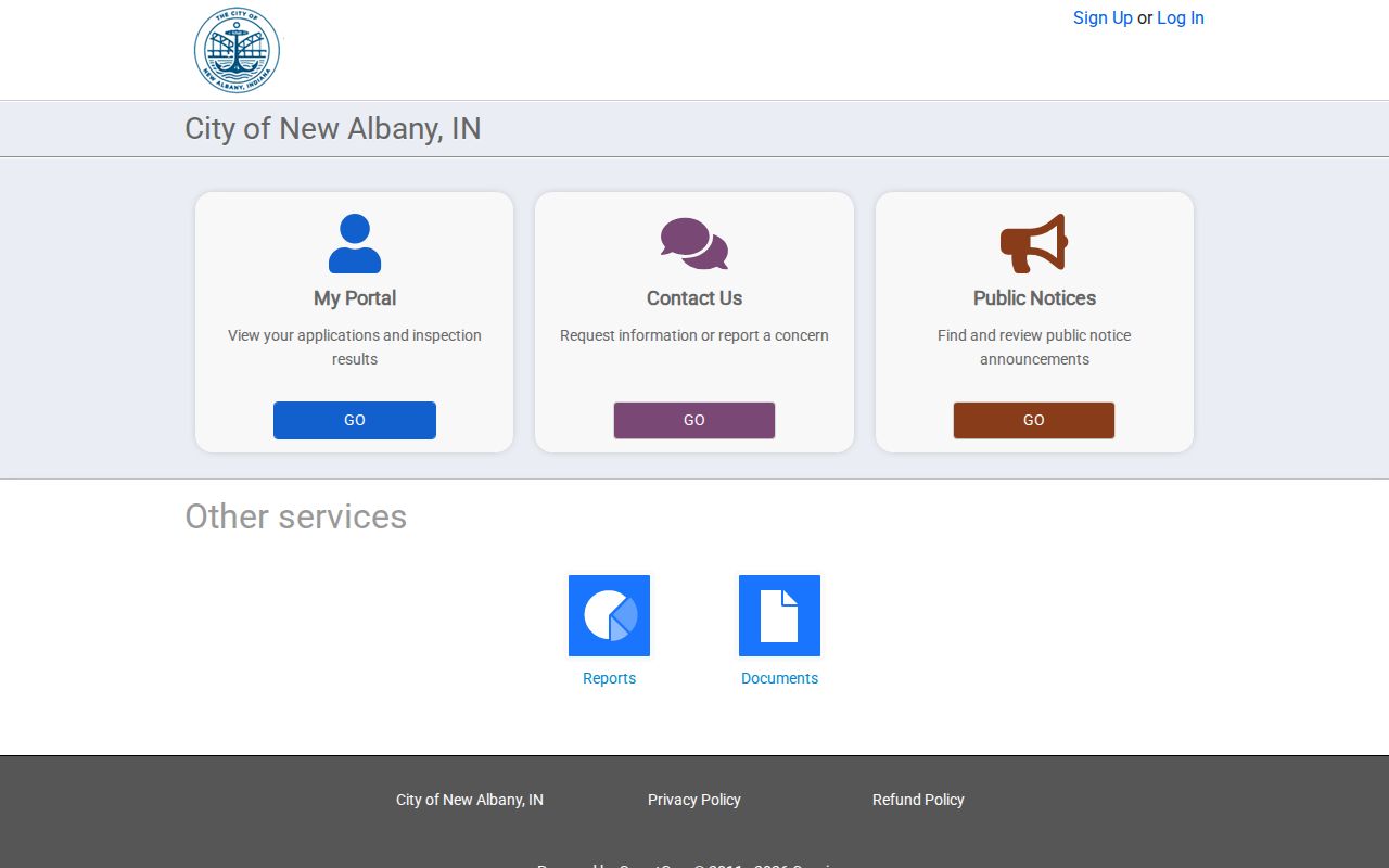
A permit can date work such as an addition, fence, drive, demolition, or inspection. It does not identify every neighbor. SmartGov's historical cutoff was not found, so an empty result does not prove that no older work occurred. Ask City Planning for a focused address and date range when a portal search stops.
Structures of at least 120 square feet require a permit under the researched city material. Search by exact site address first, then try the parcel number because street spelling and unit formats can vary. Save the application number, type, status, and submitted, issued, and final dates when a result opens. An applicant or contractor name shows involvement in the project, not residence. Reports and Documents had no items during inspection, which is another reason to use the office fallback for an older block.
New Albany Neighborhood Representatives
New Albany has no official public roster for every association. The city's Comprehensive Plan says many neighborhoods lack formal boundaries or representative groups. The strongest current public inventory is the Boards and Commissions page, which names representatives connected with historic areas.
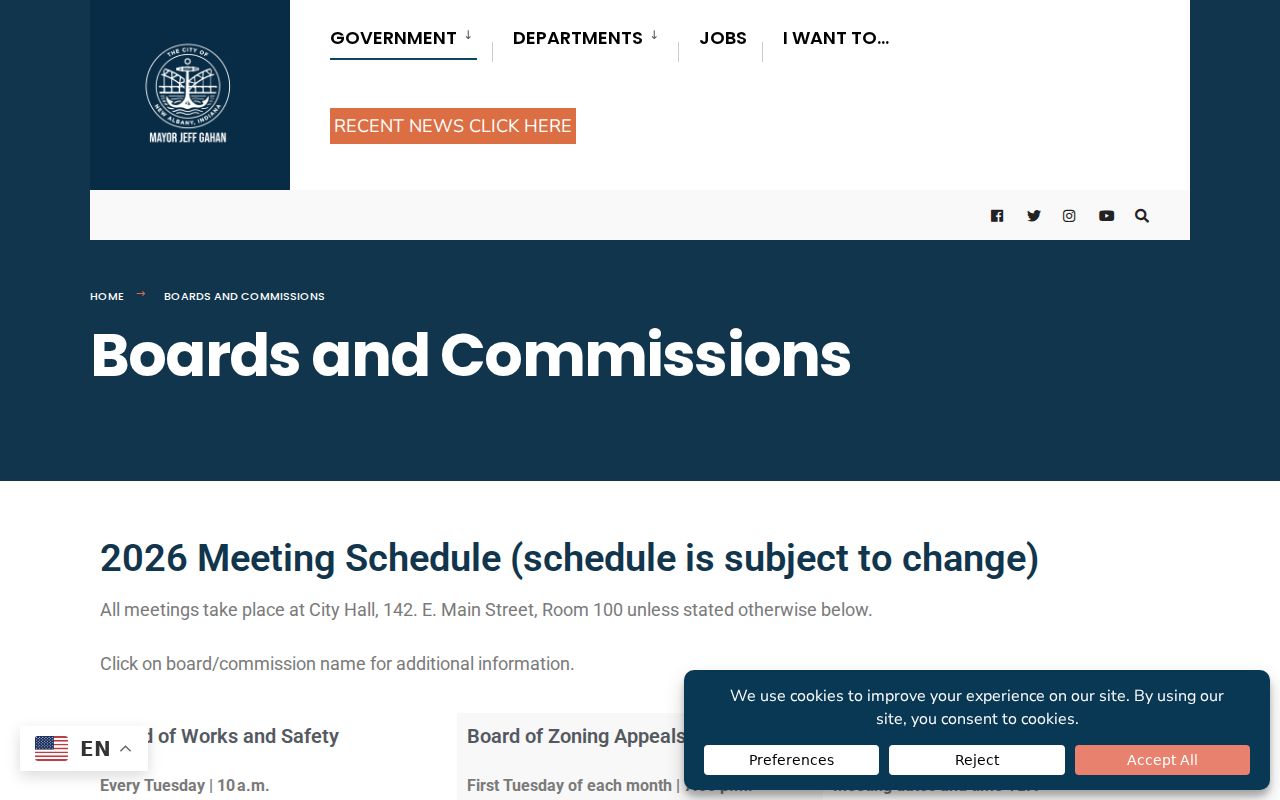
Cedar Bough Place
A preservation representative is named through the city board route. No member directory was located.
East Spring Street
Representation and meeting evidence are public. Use meetings and minutes, not a presumed resident roster.
Mansion Row
The neighborhood designates a preservation representative. Public board contact does not expose households.
Downtown District
Downtown and Main Street contacts support civic questions, but they are not a list of New Albany neighbors.
Minutes also mention Chartres Street, Farmgate or Woodfield Manor, and an effort to form a group in the Chadwood area. Treat those as dated public evidence, not proof that each group remains active.
Midtown, Uptown, and Fairmont appear as geographic names in city material, but a named area does not prove that a formal association exists. The Urban Enterprise Zone Association has resident, business, and council board roles plus a public contact. Historic New Albany, New Albany Preservation, Main Street, and One Southern Indiana also provide public civic or business contacts. None supplies a complete list of people on a block. Public meetings, petitions, appointment records, notices, and signs are the sound way to learn who speaks for an issue.
Confirm New Albany Block Lines
New Albany Planning and Zoning assigns addresses and provides official zoning verification. It can help when the street label, city limit, flood context, or parcel use does not line up with what a general map suggests.
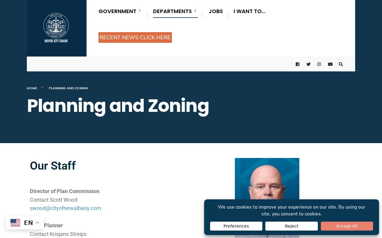
Private covenants are a separate matter. The city notes that Plan Commission or BZA action does not override them. Recorder plats and restrictions, the Surveyor's subdivision and corner files, and the deed's legal description remain the sound sources for a boundary question.
The Floyd Recorder's Plats and Restrictions page also routes to a neighborhood-covenant search. If a restriction is not online, the Recorder accepts an inquiry. The Surveyor retains subdivision plats, survey files, section-corner records, and historic plat-book material. These sources matter when a fence, drive, shared access, or small strip changes how two lots meet. They establish property facts. They still do not identify each person living on either side.
Floyd Records Around New Albany
Some block questions cross city and county systems. The Floyd County Building and Development Services page is a useful county contact point for development records and related office routes.
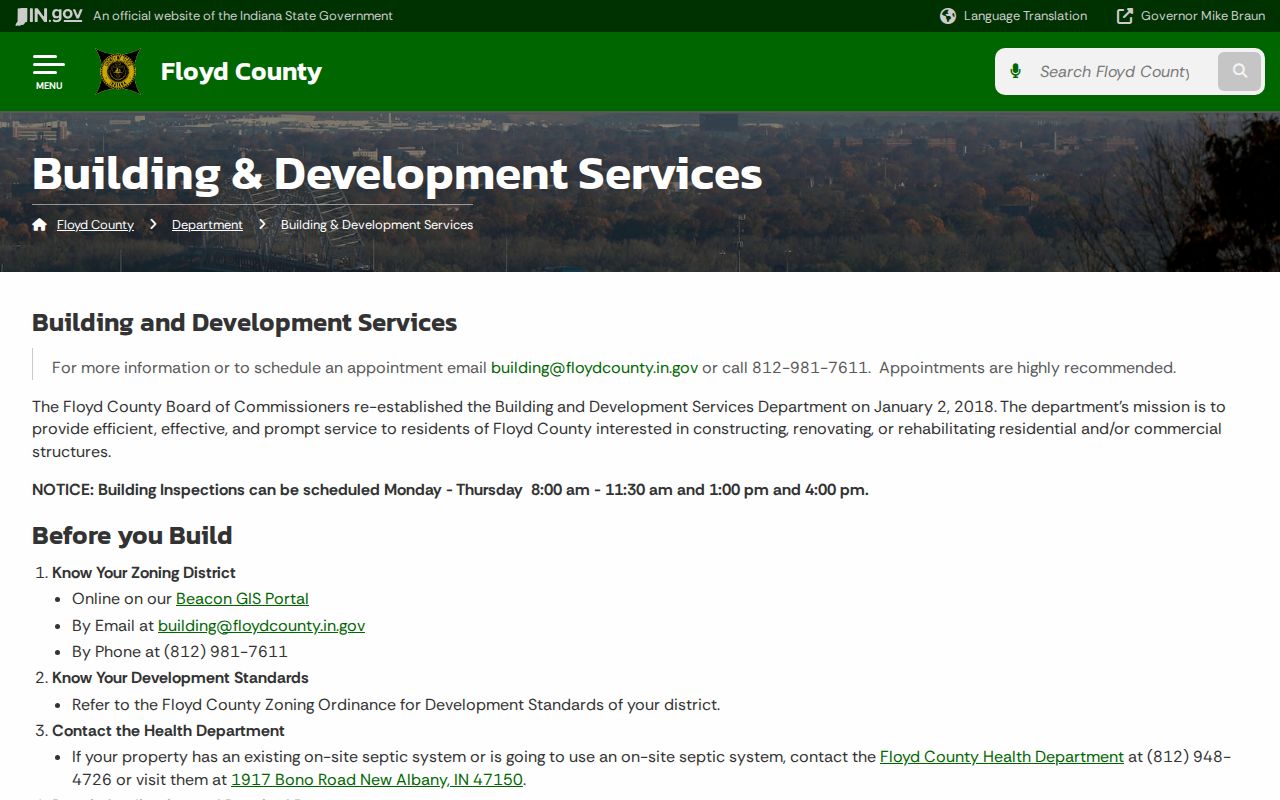
Match the parcel's jurisdiction before requesting a file. A postal label, election precinct, tax district, named neighborhood, and city boundary can describe different geographies. None should be substituted for the parcel and legal description.
ZIP codes are postal delivery zones. Precincts serve elections. Tax districts and zoning districts have other purposes, while neighborhood names may be informal. One address can sit in all of these at once without the lines matching. Record the exact layer and source date whenever a boundary affects the search. For an official address or zoning statement, ask City Planning. For title and lot questions, move to the Recorder, Surveyor, and the deed instead of relying on a general web map.
Map New Albany Neighbors
A repeatable parcel walk keeps the search tied to the immediate block. Capture IDs before collecting names, since the map view can shift and small polygons may be easy to miss. Verify a doubtful line with a plat, survey, or deed.
- Confirm the target address and parcel ID through Floyd Assessor or Beacon.
- Open Floyd GIS or IndianaMap, turn on roads and parcels, and mark every touching polygon.
- Look up each parcel ID in the owner roll. Keep the situs, mailing field, and owner type separate.
- Use Recorder plats, deeds, or Surveyor files when alleys, splits, combined lots, or rights-of-way cause doubt.
This method stops with the near block. A full named-road chain belongs in the New Albany street directory, which follows address-keyed records beyond the touching parcels.
Review the owner form before drawing any conclusion. A trust may name a trustee, an estate may still hold title, and a company may receive tax mail at another address. Parcel splits and combinations can also make a current polygon unlike the lot shown in an old deed. Check the legal description and transfer date. If the map and deed disagree, preserve that gap and ask the custodian rather than selecting the nearby record that looks most convenient.
New Albany Voter Block Rules
Indiana voter files may include releasable address, precinct, status, registration-history, district, and vote-history indicators. They do not store candidate choices, and ordinary Indiana voters do not register by party. A primary code records ballot type, not party membership.
The county computerized file uses the VRG-24 process. It bars commercial solicitation and limits redistribution, while confidential fields and Address Confidentiality Program participants are excluded or redacted. The live voter portal fields did not render during research, so no block-query feature can be claimed. A precinct map shows election geography. It is not a list of all New Albany neighbors or all people at an address.
A releasable voter list can include residence or mailing address, status, registration history, precinct or districts, and vote-history indicators after protected fields are removed. Sensitive internal fields include voter ID, full birth date, signature, Social Security number fragments, and protected-address flags. The county form's fee, format, and turnaround were not located. Contact the Floyd voter-registration office and state the permitted civic purpose instead of scraping a portal or trying to identify every household.
Historic New Albany Neighbors
For a past block, city directories can place a named householder or business at a street number in a specific year. Floyd County Library holdings run from 1845 through 1929-30. Historic Homes adds a street, address, image-year path from 1960s and 1970s real-estate photographs. Yearbooks, newspapers, Fairview burial books, vertical files, and Historical Society materials add family or civic context.
Old streets and numbers can vary. Match a directory entry to a map, legal description, nearby numbers, and a deed before calling two historical addresses the same place. These sources reveal past New Albany neighbors, not the current block.
Historical Homes examples in the research include Market Street images from 1969 through 1975. The library's Indiana History Room can also help with photos, clippings, maps, and house-history files, with up to four digital-copy requests per month for vertical-file work. Congregation, military, school, and civic affiliation may appear in yearbooks, newspapers, church archives, or society collections. No current private membership roster was found, so ask for a named historical group and date range.
Compare New Albany Neighbor Sources
Official rolls answer small, dated questions. Commercial neighbor tools combine public filings, old directories, and purchased data, which can merge names or retain obsolete addresses. Use the category as a lead only; do not treat a compiled profile as a county record.
| Source type | Best use | Main limit |
|---|---|---|
| GIS and Assessor | Parcel geometry and legal owner clue | Not a household roster or survey |
| Recorder and Surveyor | Ownership and boundary proof | May require paid index or office copy |
| City records and boards | Permit, meeting, and civic context | No full neighbor directory |
| Commercial compilation | Possible name or old-address lead | Stale, merged, incomplete, and not authoritative |
A custodian's current record and two independent matching facts are safer than a single compiled profile.
New Albany Neighbor Privacy Limits
Parcel files do not identify renters, relatives, visitors, or each person in a home. No public utility customer list was found. Driver addresses are controlled by the DPPA, while vital, adoption, sealed court, and protected voter records have their own limits. Indiana's Address Confidentiality Program supplies a substitute mailing address to eligible survivors and marks protected voter data as confidential. Never try to reverse that protection through cross-linked records.
Community groups add public meeting and contact routes, not private membership. No current citywide association, congregation, block-watch, lodge, or club roster was located. Ask about a public event, agenda, or historical date range instead of seeking a private list.
Lawful use. Use New Albany neighbor records for lawful civic, property, family, or safety research. Never watch, harass, intimidate, or harm anyone.