
New Albany ZIP Coverage
Official USPS material identifies 47150 and 47151 with New Albany. The Domestic Mail Manual groups both under the primary New Albany 47150 mailing label. That is the complete official set found in the research, but it is not a neighborhood map. No official source inspected assigned named areas, carrier routes, or a separate physical station to 47151.
| ZIP | Areas Covered | Post Office | Official Notes |
|---|---|---|---|
| 47150 | New Albany mailing city; exact city-limit crosswalk not located | New Albany Post Office, 145 E. Elm St. | Main delivery label; Census ZCTA is not the USPS boundary |
| 47151 | Accepted New Albany ZIP; neighborhood scope not officially mapped | Separate station or route not located | Grouped by USPS with New Albany under 47150 |
The careful New Albany ZIP code directory answer is short: both ZIP codes belong in a local postal search, while the exact boundary of each address needs direct verification. Do not invent a north-side or south-side split from commercial maps.
Census ZCTA 47150 is a statistical shape, not the live USPS delivery boundary. It can support broad population research, not address verification. No official per-ZIP count for both New Albany codes was located, so citywide population and household figures must stay citywide. They cannot be split between the codes by subtraction or guesswork.
Verify New Albany ZIP Codes
The USPS ZIP Code Lookup offers three useful modes. “By Address” needs a street and returns the mailing form. “By City & State” finds ZIP codes attached to a city label. “Cities by ZIP” reverses a known code. USPS warns that a result does not confirm that a person or company occupies the address.
| USPS Mode | Input | Best Use | Limit |
|---|---|---|---|
| By Address | Street, city, state | Confirm the mailing ZIP and standardized form | Does not verify a resident |
| By City & State | City and state | Find the official ZIP set | Not a boundary map |
| Cities by ZIP | ZIP | Check accepted city labels | Postal label may differ from city limits |
The New Albany submission did not render during research, so the page relies on the official DMM grouping and does not claim a captured live result.
The official USPS lookup screen appears below.
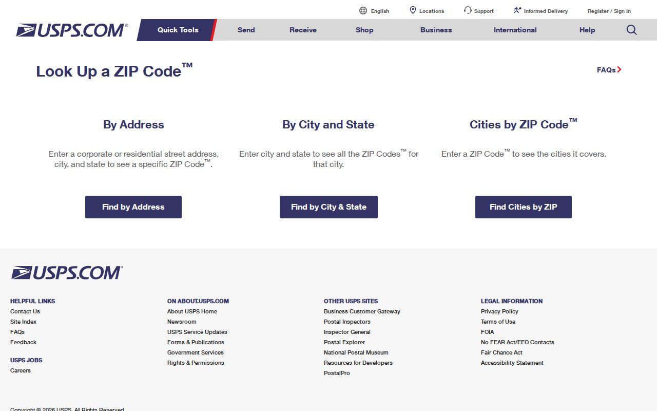
Use this postal result first, then take the exact address to local land and boundary records.
The New Albany ZIP code directory should therefore be read as a routing tool. USPS answers the mailing question, but the Assessor answers which physical parcel carries the situs address. GIS shows mapped boundaries and nearby roads. Planning can address the city assignment. Keeping those answers in separate fields prevents a postal label from being mistaken for a legal city finding.
Search New Albany Permits by ZIP
New Albany SmartGov is the clearest local records tool with a confirmed ZIP field. Its advanced search can find permit or license applications tied to sites in a postal area. This is not a roster of residents. Applicants, contractors, and parcel contacts may have different roles, and historical coverage was not stated.
| Field | Control | Required | Use |
|---|---|---|---|
| Site Zip | Text | Optional | Postal filter for a permit site |
| Site Address / City | Text | Optional | Narrow a known New Albany location |
| Parcel Number | Text | Optional | Join the application to land records |
| Type / Status | Select | Optional | Limit work type or process stage |
| Submitted / Issued / Finaled | Date range | Optional | Constrain the time window |
Use the SmartGov advanced search with Site Zip plus a date, type, address, or parcel. A ZIP-only result may be broad and still says nothing about current occupancy.
SmartGov also separates permits from licenses and offers process states such as pending, approved, issued, finaled, closed, inactive, and expired. Submitted, issued, and finaled date ranges can distinguish a new application from completed work. Reports and Documents showed no available items during inspection, and no sample result was captured. Treat each match as an application record that still needs an address or parcel cross-check.
Find New Albany Records by ZIP
A ZIP code directory provides a geographic starting point, not a name list. The useful route moves from postal verification to one official record source at a time. Beacon was confirmed to search by name, address, or parcel, but its Floyd County interface did not expose a ZIP-only filter. Indiana's voter status tool also did not yield a ZIP-wide resident search.
- Confirm the code and mailing city through USPS. Save the standardized address.
- Search SmartGov by Site Zip, then narrow with address, parcel, status, or dates.
- Take a known street address to the Floyd County Assessor or GIS rather than claiming Beacon has a ZIP filter.
- Compare the parcel's situs city with the GIS corporate boundary and City Planning information.
- When the search reaches one street, use the New Albany street directory for the address-level chain.
No official per-ZIP population or voter table for 47150 versus 47151 was located. Citywide Census figures cannot be divided between them without another valid source.
A ZIP code directory cannot replace the keys used by other offices. The Recorder searches parties and documents, not postal areas. Beacon exposes name, address, and parcel searches. Election records follow precincts and state access rules rather than a public ZIP roster. When a portal lacks the needed field, use its documented office or map route instead of treating an empty search as proof that no record exists.
New Albany ZIP and City Limits
USPS designs ZIP codes for mail delivery, while New Albany and Floyd County maintain political and service boundaries. The DMM grouping does not prove that every 47150 or 47151 address lies inside the city or even inside one local district. Check the precise property through USPS, the Assessor's situs record, the GIS corporate-boundary layer, and City Planning.
- ZIP
- A five-digit USPS delivery area, not a city or voting boundary.
- ZIP+4
- A more precise delivery segment added to the five-digit code.
- PO-box ZIP
- A code or segment used for post-office boxes. No distinct 47151 box-only scope was confirmed.
- Unique ZIP
- A code assigned to one high-volume recipient; none was documented for New Albany.
- Carrier route
- A mail-delivery route within a ZIP, not a neighborhood or public resident roll.
New Albany Address Layers
One New Albany place can carry a situs address, tax mailing address, legal description, parcel ID, ZIP, precinct, and zoning district. Each answers a different question. Situs means the physical site. A mailing address is where notices go and may be elsewhere. The legal description identifies land in a deed, while the parcel ID is the county database key.
| Situs address | Assessor, GIS, SmartGov, and Planning use it for the physical location. |
|---|---|
| Mailing address | A correspondence clue, not proof that the owner lives at the parcel. |
| Legal description | Lot, block, grant, metes-and-bounds, plat, or deed reference. |
| Parcel ID | The Assessor/GIS key, not a postal code. |
| Precinct or district | Election, tax, school, or zoning geography kept apart from ZIP. |
This distinction prevents a common error: treating an owner mailing address or homestead marker as proof of the current household.
City Planning handles New Albany address assignment. Floyd County Surveyor material adds corners, surveys, plats, flood maps, a historic plat-book map, and a county road map. Those sources answer land and jurisdiction questions that a ZIP cannot. Keep the USPS result beside the situs record and legal description instead of blending all three into one label.
Map New Albany ZIP Context
The City of New Albany maps page offers local geographic context, while Floyd County GIS supplies parcels, roads, rights-of-way, infrastructure, election layers, and other district views. Neither should be treated as a legal survey. City Planning assigns New Albany addresses and can verify the physical city context.
The city's maps and district source is shown below.
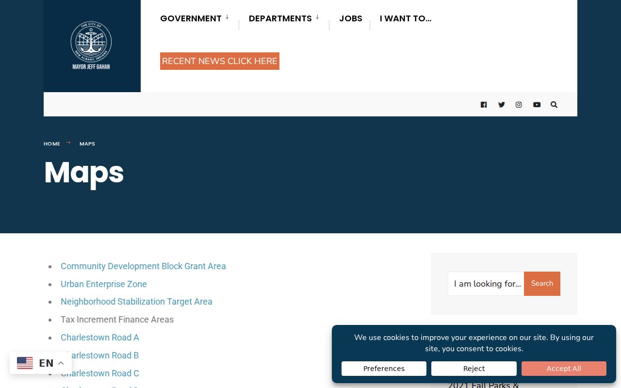
Compare a postal result with the corporate-boundary and parcel layers. A ZIP code directory narrows mail geography; it does not settle jurisdiction.
Floyd GIS also documents why old and new map views may differ. Parcel coding was updated in 2007, paper-map maintenance ended in favor of GIS-only work in 2010, and online GIS followed a 2012 agreement. Those dates describe the mapping system, not a ZIP split. Free public terminals are available at Floyd County Library branches and the City-County Building offices when remote vendor access does not expose enough detail.
Historic New Albany ZIP Research
New Albany directories from the nineteenth century predate modern ZIP codes. The 1860 book uses Water, Main, Market, Spring, State, Lower and Upper numbered streets, corner descriptions, sides, and six wards. A modern ZIP must not be pasted onto that record as though it appeared in the source.
Start with the old street phrase and directory year. Compare a period map, plat, legal description, newspaper landmark, and adjacent parcels. The Recorder's New Albany city-plan entries and Floyd County Surveyor maps can bridge the old lot to current geography. Only then should USPS verify the present postal form.
Note: The research found no official citywide renumbering, annexation, or E911 conversion year, so do not invent one.
New Albany ZIP Privacy Limits
A ZIP code covers many delivery points and never confirms one person's residence. Indiana's Address Confidentiality Program can substitute a mailing address for eligible participants, adding another sound reason not to infer a private home from a public clue. The state confidentiality program describes its eligibility and application route.
The official program page appears below because confidentiality is part of accurate ZIP research.
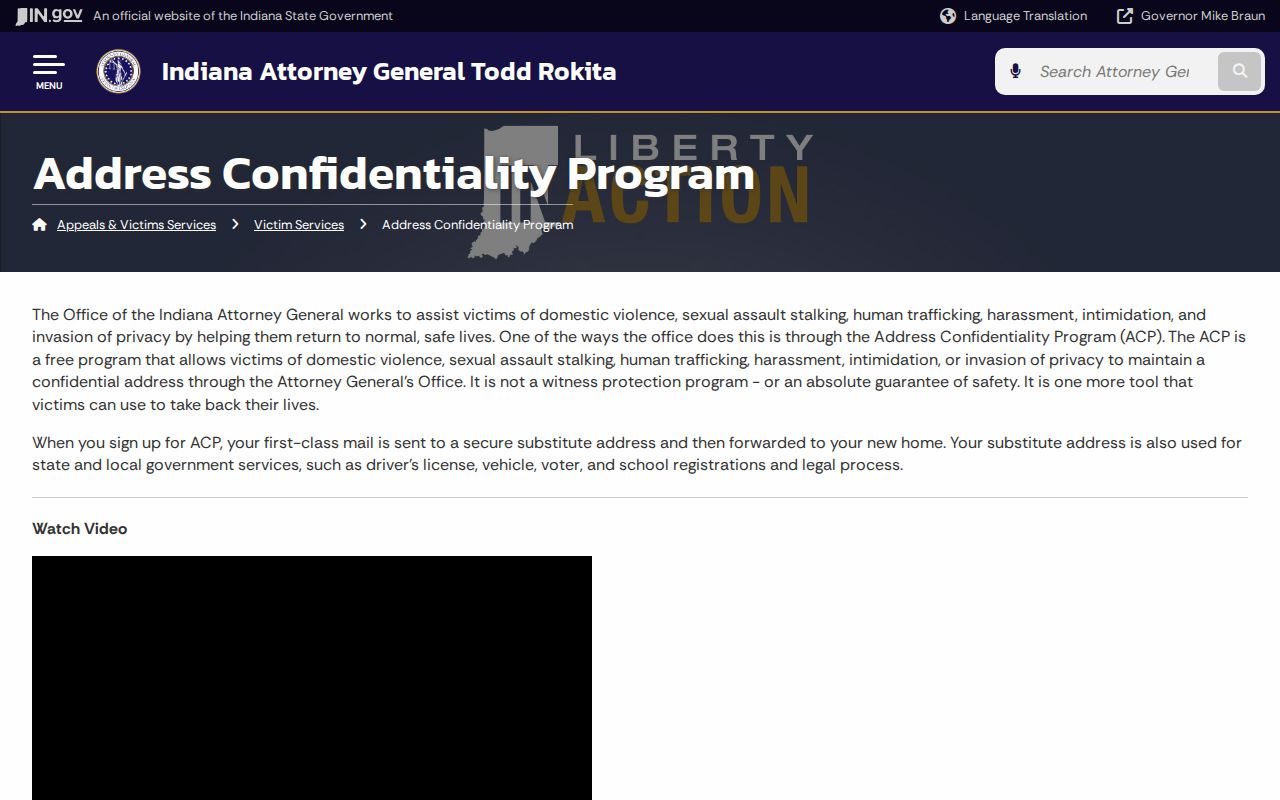
Use postal and public records only for lawful personal research. Never use a ZIP lookup to stalk, harass, threaten, or expose a protected person.