
Walk a New Albany Street
A sound street-by-street search starts with the exact situs address, meaning the place where the parcel sits. Floyd County property and map records can identify the parcel and deed holder, but ownership is not the same as occupancy. A tax mailing address may point somewhere else, and renters or other household members may never appear in property records. The New Albany street directory works best when each source is treated as one piece of evidence.
- Enter the address in the Floyd County Assessor's Beacon route. Save the parcel number, situs address, owner name, and any deed reference shown.
- Open the Floyd County GIS resources. Pan along the named street and compare adjacent parcel shapes, roads, and rights-of-way.
- Use Indiana's official voter route only for the status and polling functions it actually offers. A county voter-data request has legal limits and is not a complete household roll.
- Take the owner or deed reference to the Floyd County Recorder. Read the legal description before assuming two similar addresses are the same land.
- For an earlier household, consult the library's dated city directories and street sections. Record the issue year beside every name.
Search New Albany Parcels
The Floyd County Assessor sends online users to Beacon, whose visible search prompt accepts a name, address, or parcel number. Broad searches can return more than 200 results and must be narrowed. The Floyd-specific property card did not render during research, so local fields beyond the confirmed vendor results should not be assumed. Limited access is free; the GIS page lists deeper access at $7.50 per day, $15 per month, or $125 per year. Free terminals are available at the Downtown and Galena library branches and at Assessor and Recorder offices in the City-County Building.
| Beacon control | Input | Use in a street search |
|---|---|---|
| Name | Owner text | Find parcels tied to a deed holder, with spelling variants when needed. |
| Address | Street text | Start the New Albany street directory by situs address and refine a large result set. |
| Parcel number | Local identifier | Carry the same property into GIS, deeds, plats, and permit records. |
| Results | Table | Confirmed columns include Parcel, Alternate ID, Address, Ownership, City, Area, State, ASV, Ref Num, and STR. |
The Floyd County Assessor page explains transfers, splits, construction, land assessment, sales disclosures, and plat-room mapping. The captured page below is the official starting point, not a populated parcel card. Use its office contact when Beacon blocks a needed detail.
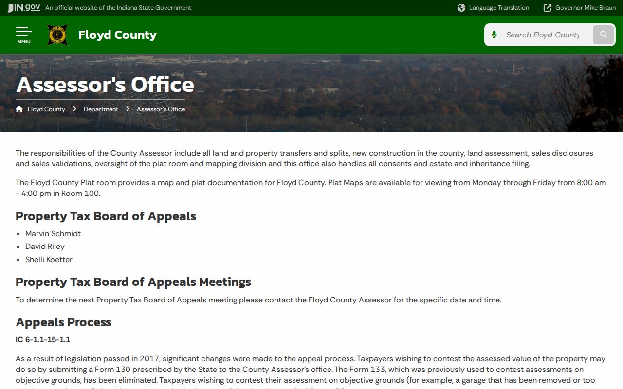
The image confirms the county source behind the address workflow. It also helps keep assessed property facts separate from claims about who currently lives there.
Decode New Albany Address Records
One address can appear in several forms because each custodian uses it for a different task. The physical address belongs to the parcel. The mailing address receives tax correspondence. A deed describes the land through a lot, block, subdivision, out-lot, grant, metes-and-bounds description, or book and page. A ZIP code marks mail delivery, while a precinct or zoning district marks another boundary.
- Parcel
- A mapped unit of land with a county identifier. One building can involve more than one parcel, and parcels can split or combine.
- Situs address
- The physical street location of the property, distinct from an owner's mailing address.
- Plat
- A recorded map that shows lots, streets, easements, and subdivision lines.
- Criss-cross directory
- A directory arranged by street or address so an older occupant can be found without first knowing the name.
Do not merge these labels too soon. A homestead deduction or mailing address does not prove that the named owner is part of the current household. That distinction is one of the most useful safeguards in a New Albany street directory search.
Map New Albany Streets in GIS
Floyd County began its modern GIS work with ArcView in 2006, updated parcel coding in 2007, stopped maintaining paper maps in 2010, and expanded online access through a 2012 agreement. The county links New Albany township and city maps, Beacon, IndianaMap, and election or infrastructure hubs. Pan down a street, select each exposed parcel, and carry the parcel or alternate ID back to assessor records.
The county GIS page is the source for the viewers, available layers, access choices, and map warning.
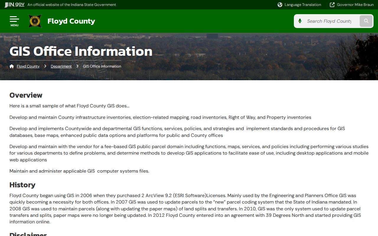
The viewer can help compare parcel edges with roads, rights-of-way, election geography, infrastructure, and flood layers. Its lines are reference data, not a survey, deed, or engineering plan. Ask the Surveyor for recorded surveys, subdivision plats, corners, flood maps, the historic plat-book map, or the 2025 road map when a legal line matters.
Follow New Albany Deeds
Once an address yields a parcel and current owner, the Floyd County Recorder connects that name to recorded deeds, mortgages, liens, releases, plats, leases, easements, and related instruments. A buyer is generally the grantee and a seller the grantor. Check the legal description, lot, and block on every result, since a same-name match or nearby number can lead to the wrong property.
The Recorder's online search page advertises images from 1783 to current through Tapestry and Laredo. Tapestry costs $8.95 per search plus $1 per printed page. Laredo uses subscription tiers. The Room 115 office at 311 Hauss Square is open Monday through Friday, 8 a.m. to 4 p.m., and is the fallback for illegible, deferred, or missing online items.
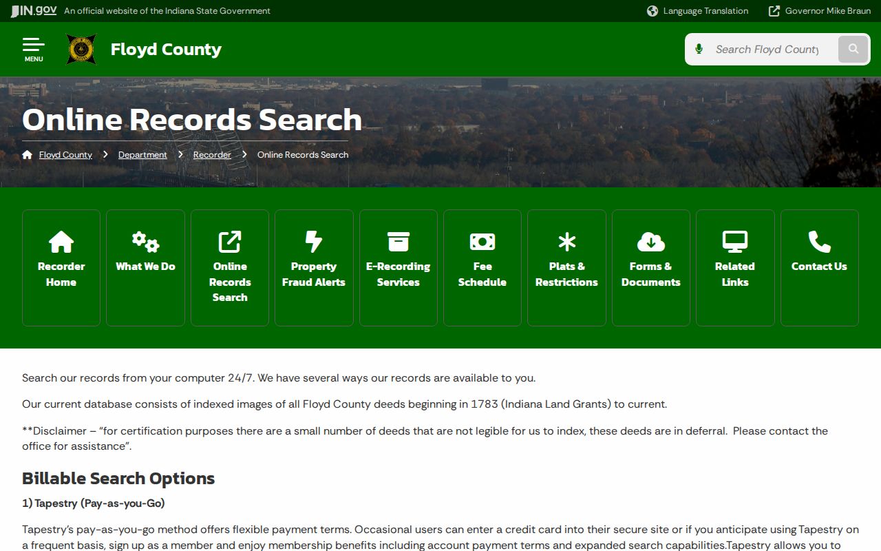
The screenshot marks the official index doorway. Laredo's local guide says to omit punctuation and ignore case; older books use several document formats, so a modern street number alone is rarely enough.
New Albany's Earliest Street Plan
The Recorder's Clark and Illinois Grant book reaches from 1783 through 1850 and predates Floyd County's 1819 creation. It identifies the New Albany city plan at CG00A-137A. Some descriptions say “town of New Albany No.” or identify an out-lot letter on a street. These records are historical rather than certifiable because the land first lay in Clark or Harrison jurisdiction.
This is more than an old catalog detail. The Floyd County Historical Society identifies the 33-foot Gunter chain used to measure the first streets and lots laid out in 1813. A street directory search that reaches this era must translate between a plan, a legal lot, and a later number. The grant book helps bridge that gap without claiming that an early entry proves modern ownership.
Check New Albany Permits by Address
SmartGov adds work done at a site to the address trail. Its advanced form includes Site Address, Site City, Site Zip, Parcel Number, application type, process status, and submitted, issued, or finaled date ranges. Permits may date an addition, demolition, fence, driveway, or inspection. Structures of at least 120 square feet require a permit, but the portal's historical cutoff was not found. Planning also cautions that plans for structures more than about 50 years old are unlikely unless special zoning review occurred.
The New Albany SmartGov search can test an exact site and parcel.
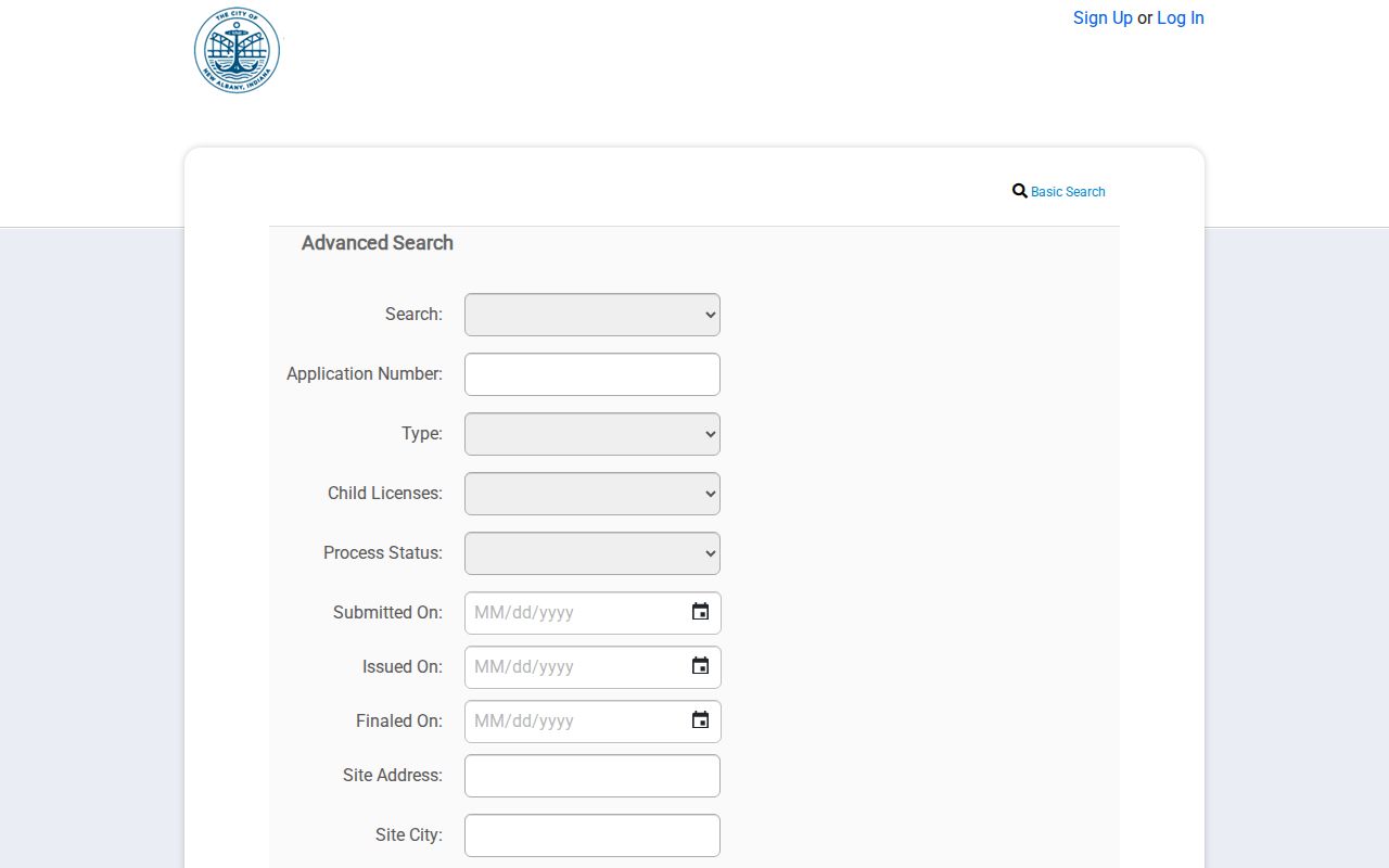
The captured search shows why permit evidence belongs beside, not in place of, parcel and deed records. A named applicant or owner in one application does not establish a full household.
New Albany Street Record Coverage
Each address-keyed source has a different time span and legal purpose. The table shows what can be checked by street, plus the limits that prevent a false conclusion.
| Record Set | Keeper | What It Shows | Access |
|---|---|---|---|
| Assessor roll | Floyd County Assessor | Parcel, situs, deed holder, values, mailing clues | Beacon, free terminals, Room B3 |
| GIS parcel map | Floyd County GIS | Adjacent parcels, roads, right-of-way, districts | Viewer links and office help |
| Deeds and plats | Floyd County Recorder | Parties, legal description, title chain, easements | Tapestry, Laredo, Room 115 |
| Voter data | Floyd County Clerk | Releasable residence, status, precinct, history fields | State lookup or lawful VRG-24 request |
| Permits | New Albany Planning | Site, parcel, type, status, application dates | SmartGov and records request |
| Old directories | Floyd County Library | Dated residents, work, business and home addresses | Scans, History Room, staff request |
The parcel number ties assessor, GIS, deed, plat, and permit evidence together. A street name connects the modern record to a dated directory, but early spelling, directional forms, and Lower or Upper numbered streets may need an old map. For collection details rather than a single address task, use the New Albany city directory page.
Read Historic New Albany Streets
The 1860 directory places Main north of Water, Spring north of Market, and State running north from the river. It also uses six wards, Lower and Upper numbered streets, and phrases such as northeast corner, west side, between, and near. An alphabetical entry can combine a person's trade, business address, and a home marked with “h.” OCR makes those short forms easy to misread, and no formal abbreviation key was exposed.
Search the scan and inspect the page image. Then compare nearby entries, street-section order, old plats, Sanborn maps, and adjacent parcel geometry. No official citywide renaming or renumbering schedule was found, so a missing number should not be treated as proof that a resident moved.
New Albany Voter Address Limits
Indiana's public voter route supports registration status, polling place, county contacts, provisional-ballot status, and ballot information. The live form did not render during research, so exact current inputs should not be guessed. Releasable county data may include name, residence or mailing address, status, registration history, precincts, districts, and participation codes, subject to redaction and VRG-24 restrictions.
Indiana does not register ordinary voters by party. A primary code records ballot type, not a person's choices or a party enrollment. Protected-address participants, identification data, full birth dates, signatures, and other confidential fields are excluded. Even lawful voter data cannot supply nonregistered adults, children, or every person at a door. It is supporting evidence, never a complete by-street household list.
Limits of New Albany Street Directory
No public source supplies a complete, live roster for each New Albany home. The assessor identifies property and taxpayers. A deed establishes recorded title. Voter data covers eligible registrants within public-field and use limits. Directories are dated publications. Utilities were not found as a public customer list, and a permit records work at a site rather than all occupants.
Record the source date and exact address on every capture. Separate a fact shown by the source from an inference about residence. If an online record is absent, try the Assessor or Recorder terminal, the Surveyor's plats, City Planning, or the Indiana History Room instead of treating a portal gap as proof that no record exists.
A useful capture sheet has one row per address. Note the normalized street form, situs, parcel ID, owner, tax mailing address, legal description, deed number, permit date, directory year, and the date each online source was checked. Keep blank fields blank. When two records conflict, retain both versions and ask the office that created the record. This method also makes a long New Albany street directory search easier to audit. It shows whether a name came from a current parcel, a dated public roll, or an old publication, and it keeps a plausible match from becoming an unsupported claim about a household.
Lawful use. New Albany address records support lawful family, property, and civic research. Never use them to stalk, harass, intimidate, or harm anyone.